Stay informed with the LNN Daily Newsletter

UPDATE: Heavy rain and snow prompt warnings

May 16, 2017 | 5:44 AM

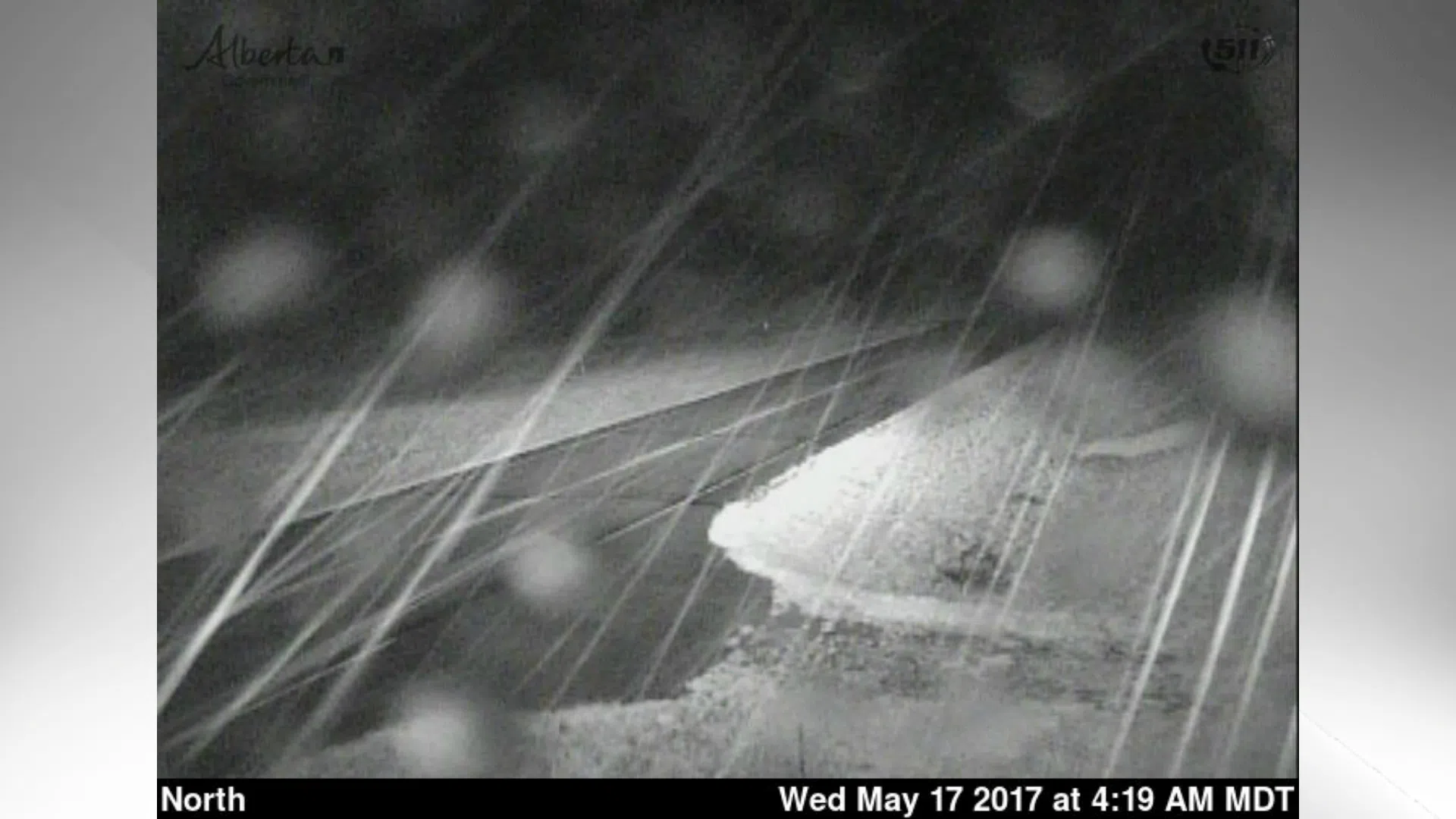
UPDATE 4:30 a.m. Wednesday, May 17: While the weather warning continues for the higher elevations, closer to Lethbridge a rainfall warning was also issued for areas just west of Lethbridge.

The rainfall warning affects the Fort Macleod, Granum, Standoff, Cardston, Magrath, Mountain View, Hill Spring, and Del Bonita areas. A warning issued at 3 a.m. suggested amounts of nearly 50 mm of rain for those areas, though that was removed from an updated warning at 4:30 a.m.

The weather warning remained in effect for areas of higher elevation including Pincher Creek, Crowsnest Pass, and Waterton Lakes.

——————————————————

LETHBRIDGE – A weather warning was issued early Tuesday, May 16, as Environment Canada monitored an area of precipitation moving towards southwestern Alberta.

The warning covers the areas of Pincher Creek, Crowsnest Pass, and Waterton Lakes, including the Piikani and Blood Reserves. Rain moving into the region is expected to fall as heavy snow in the higher elevations.

Local amounts could reach 10-20 cm by Wednesday morning. The Lethbridge area was not expected to receive snowfall, but rainfall could total more than 35 mm by the time the system moves out.

A general “weather warning” is issued when expected conditions do not meet the criteria for a more specific alert but could still be extreme or significant, such as an out-of-season snowfall.