Stay informed with the LNN Daily Newsletter

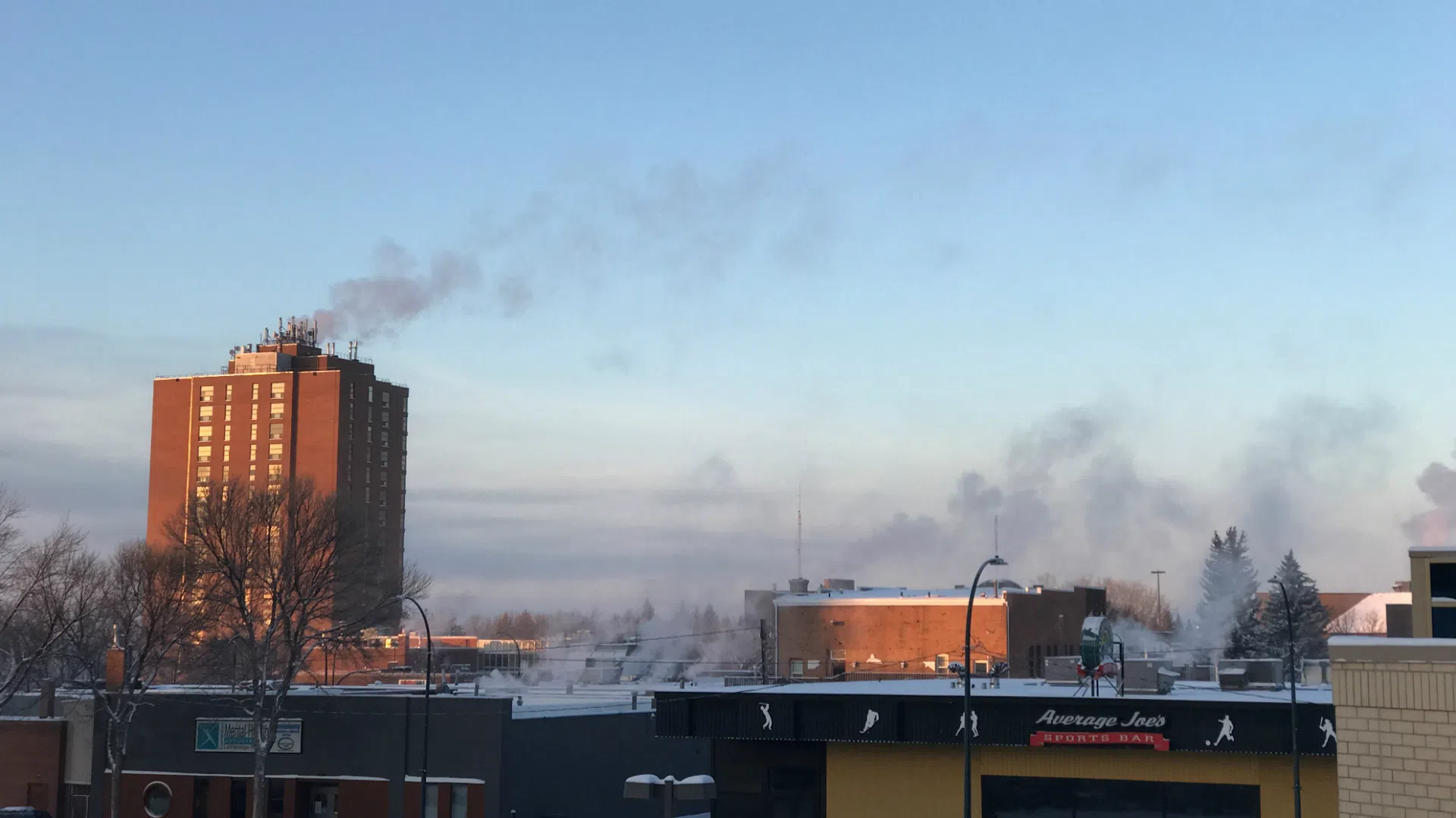
Cold warning ends for Lethbridge, but other warnings continue

Jan 11, 2018 | 4:10 AM

UPDATE 3:30 p.m.: The cold warning has ended for Lethbridge/Taber. The other warnings remain.

UPDATE 8:50 a.m.: The Lethbridge/Taber region has been added to the extreme cold warning.

UPDATE 7:20 a.m.: Peigan Board of Education says buses are not running but school in Brocket will be open.

LETHBRIDGE – Winter is taking yet another run at southern Alberta.

A new snowfall warning was issued Thursday morning, Jan. 11 for areas west of Lethbridge, including Fort Macleod, Cardston, the Blood and Piikani Reserves, Pincher Creek, Waterton, and Crowsnest Pass.

Environment Canada said the reason is a disturbance moving across the northern U.S. Regions in the warning area were told to expect 10-20 cm beginning late in the afternoon and letting up Friday morning. Lethbridge is not in the warning area, but can expect 5-10 cm from the system.

While snow attacks from the south, cold is once again making its move from the north. Much of Alberta, stopping just north of Lethbridge, was under an extreme cold warning Friday morning. The warning area includes Vulcan, Carmangay, Champion, Enchant, Lomond, Claresholm, and Nanton.

The worst of the cold is expected Thursday night. Wind chills in Lethbridge won’t quite reach -40, with the wind remaining light.

Conditions were expected to turn around suddenly. The long-range forecast has another chinook blowing in, with plus temperatures expected by the weekend, and the potential for highs in the teens by Tuesday.