Southern Alberta snow pack at a one in 12-year high
-
Share on Facebook
-
Share on Twitter
- Copy Link
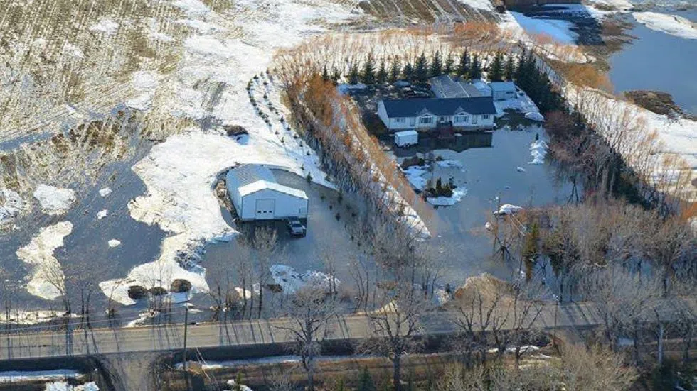
LETHBRIDGE — With temperatures warming and some areas experiencing overland flooding from melting snow, there comes the question of snow pack and what it will add to that problem – and to late seeding for farmers.
Alberta Agriculture and Forestry’s head of meteorology, Ralph Wright, says that snow packs were poorly developed by the end of January, throughout most of the central part of the province.
However, during February and March, most areas saw a return to near-normal precipitation accumulations, along with continuing below-normal temperatures. The conditions continued into early April.
For land south of Red Deer, the snow pack is generally above normal, with a grade of at least one in 12-year highs, across an area stretching from Calgary down through most of Southern Alberta.
North of Red Deer, the snow pack is near-normal, with some areas in the south-western and south-eastern Peace regions graded to one in 12-year highs.
The spring melt has been delayed by cooler April weather, but a week of warm weather with daily highs of 10 degrees Celsius or more is not uncommon at this time of year and is able to melt half a metre of snow off the landscape within a week.
A return to near-normal weather soon, could rapidly melt snow and start the drying process, ahead of regular spring seeding operations


