Alberta releases trail plans for off-highway vehicle use for Livingstone – Porcupine Hills
-
Share on Facebook
-
Share on Twitter
- Copy Link
EDMONTON — Provincial plans have been released which restrict off-highway vehicles to designated trails in heavily used areas of the southwest foothills.
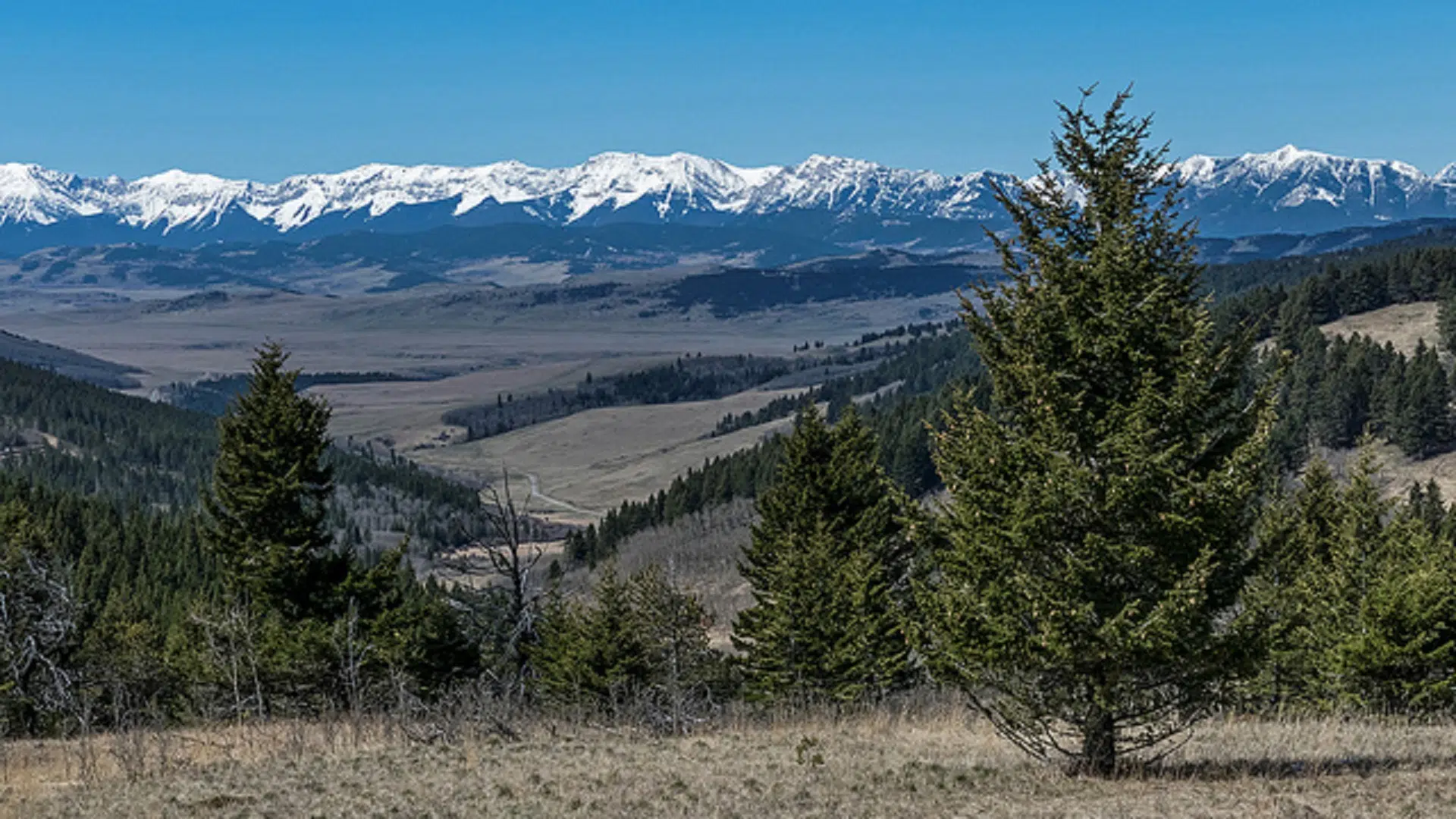
The Livingstone – Porcupine Hills areas, a portion of southern Alberta’s Eastern Slopes, are highly valued for their natural resources and provide most of the region’s drinking water.
In a news release, the provincial government notes “Alberta’s growing population combined with diverse interests on the landscape – including forestry, energy and mining, tourism, recreation and grazing – have led to a need to focus on land management for the area’s long-term health and use.”
The new plans, designed by Land Footprint and Recreation Management will close hundreds of kilometres of unofficial trails for to OHVs in the Livingstone and Porcupine Hills areas as Public Land Use Zones (PLUZ).
The PLUZ will, instead, introduce a network of trials designed to resist erosion, stream damage and critical wildlife habitat.
Shannon Phillips, Minister of Environment and Parks, states, “These balanced plans will help us protect the region’s headwaters, biodiversity, esthetic beauty and historic value, while providing safe, high-quality recreation experiences for all users.”
The plans have the support of locals including MD of Ranchland Reeve, Cam Gardner.
“For so many years, I have witnessed the increasing destruction of our backcountry and headwaters. The land plan and the recreation plan for the Livingstone-Porcupine Hills, coupled with the PLUZ, give our landscape a long overdue reprieve and will provide the guidance and enforcement framework necessary to protect a resource precious to all Albertans.”
Porcupine Hills Coalition landowner, John Lawson, also supports the plan.
“The PLUZ, Footprint, and Recreation plans have been needed for a long time and will make a positive difference for many ranchers and local residents who rely on the land for their livelihood. Important work remains to be done on implementation of the plans and we look forward to working with the government and other stakeholders in this process.”