Lethbridge included in snowfall warnings
-
Share on Facebook
-
Share on Twitter
- Copy Link
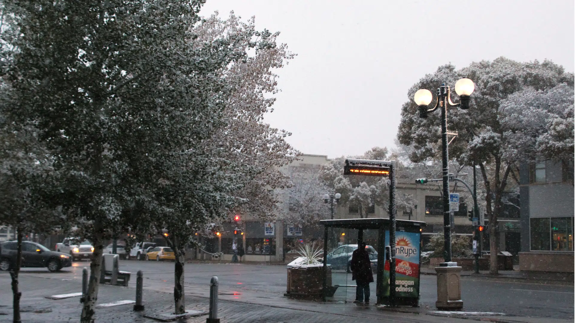
LETHBRIDGE – The weather advisories have turned into warnings, as snow begins to fall on southern Alberta.
Environment Canada has issued a snowfall warning for regions that include Lethbridge, Taber, Milk River, Vulcan, Carmangay, Fort Macleod, Cardston, Blood Reserve, Piikani Nation, Pincher Creek, Waterton, Crowsnest Pass, Claresholm, Nanton, Calgary, and north along the mountains. The warning is in effect as of early Tuesday, Oct. 2.
The warning said to expect 10-20 cm of snow in most areas, with up to 35 cm in isolated areas and high elevations. Chris Wielki, an Environment Canada meteorologist, said Calgary International Airport had already recorded 14 cm of snow as of 4 a.m. and 20 cm in the foothills to the west.
“Snow’s going to continue through the day today and tonight and start to taper off Wednesday,” he said. Lethbridge could expect 5 cm during the day Tuesday and nearly 10 cm Tuesday night, he added.