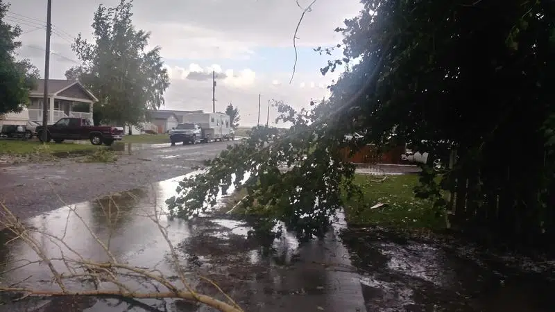
Storm Damage in Barnwell (Photo Courtesy: Megan Wilson)
Tuesday’s damaging winds equivalent to an EF1 tornado according to Environment Canada
Aug 7, 2019 | 11:46 AM
-
Share on Facebook
-
Share on Bluesky
-
Share on X
- Copy Link
BARNWELL, AB – Environment Canada says Tuesday night’s destructive storm formed in the Foothills northwest of Calgary, then tracked hundreds of kilometres southeast until it savagely hit the Vulcan and Taber areas.
Meteorologist Kyle Fougere says 146 km/hr wind gusts were recorded in Barnwell, while in the Taber area, hail was a significant factor.
“There was loonie sized hail in Barnwell and up to golf ball sized hail in Taber as the storm moved through. So, with that storm there was significant damage from mostly the wind. Damage to crops, to trees, farm equipment and even farm outbuildings.”
And it was not just an intense thunderstorm, but a fast moving one he adds – travelling between 70 and 80 km/ hr.