Lethbridge County mapping tool graphic
New online mapping for Lethbridge county
May 12, 2020 | 1:18 PM
-
Share on Facebook
-
Share on Bluesky
-
Share on X
- Copy Link
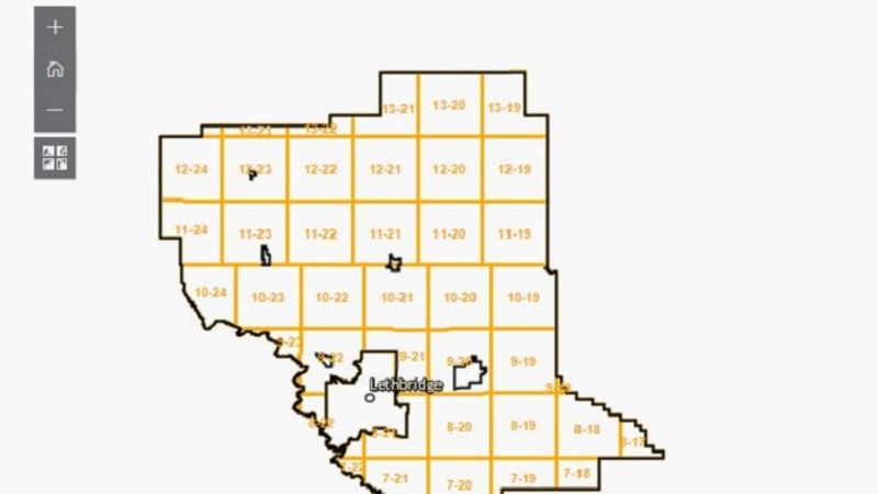
LETHBRIDGE, AB – Lethbridge County is releasing a new online feature for mapping.
This new feature is for public use on the Lethbridge County website that can be useful for citizens, businesses, and all stakeholders.
Layers in the map can be turned on or off depending on the desired use and users can click on parcels of land to find the legal land description and parcel boundaries.
Also, you can select a layer to view the current zoning of the land and their is a search function to look up a parcel roll number or address.