Stay informed with the LNN Daily Newsletter
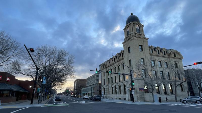
File photo of the downtown Lethbridge post office. The weather is set to improve drastically over the coming week or so. (Photo: Lethbridge News Now)

Above-zero temps here to stay until early March in southern Alberta

Feb 20, 2025 | 9:26 AM

We can expect warmer temperatures for at least the next week.

That is according to Environment Canada Meteorologist Brian Proctor, who says the last few weeks of extreme cold weather is finally over in southern Alberta.

The seven-day forecast, as of Thursday morning, shows daily high temperatures in the plusses all week:

  • Thursday, Feb. 20:
    • High +5
    • Low -3
  • Friday, Feb. 21:
    • High +7
    • Low +2
  • Saturday, Feb. 22:
    • High +12
    • Low +7
  • Sunday, Feb. 23:
    • High +14
    • Low +8
  • Monday, Feb. 24:
    • High +10
    • Low 0
  • Tuesday, Feb. 25:
    • High +10
    • Low +1
  • Wednesday, Feb. 26:
    • High +10
    • Low (Doesn’t show yet)

“Typically this time of year, we should see overnight lows of about minus nine and daytime highs of about plus three, so we’re going from this very below-seasonal conditions to much above, and it looks like that’s going to hold until about early March,” says Proctor.

What often happens during wintertime warmups is powerful chinook winds with warm air coming down from the Rocky Mountains. This time, however, Proctor believes that will not be the case.

Instead, he says the region is experiencing a general “large-scale warmup.”

There will be a few days over the coming week where daily low temperatures are near zero, so Proctor says some of the melting snow could potentially freeze overnight. He is asking drivers to be extra careful due to the possibility of icy roads.

READ MORE: Milk River ties its cold weather record on Tuesday

For local news delivered daily to your email inbox, subscribe for free to the Lethbridge News Now newsletter here. You can also download the Lethbridge News Now mobile app in the Google Play and the Apple App Stores.