Alberta finalizing flood maps faster than ever before
-
Share on Facebook
-
Share on Bluesky
-
Share on X
- Copy Link
The Government of Alberta is pleased to report it has finalized more flood maps in the past five years than in the previous 35 combined.
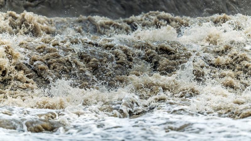
Officials say flood maps play a critical role in informing local emergency response plans and guiding future development decisions. In the last five years, flood mapping has launched in 100 municipalities and Indigenous communities, the province points out.
“Our government is committed to creating more than 3,000 kilometres of new and updated flood mapping by 2028,” said Rebecca Schulz, Minister of Environment and Protected Areas. “So far, we’ve completed 1,600 kilometres. This commitment has resulted in more flood maps being finalized in the past five years than in the previous thirty-five years combined. Alberta’s proactive work will help protect communities, families and businesses in the decades to come.”
Seven new flood map studies are on the way for Carbon, Chateh, Crowsnest Pass, Lethbridge, Rycroft, Thorsby and Two Hills.