ID 806957 © Litwinphotography | Dreamstime.com
June 10
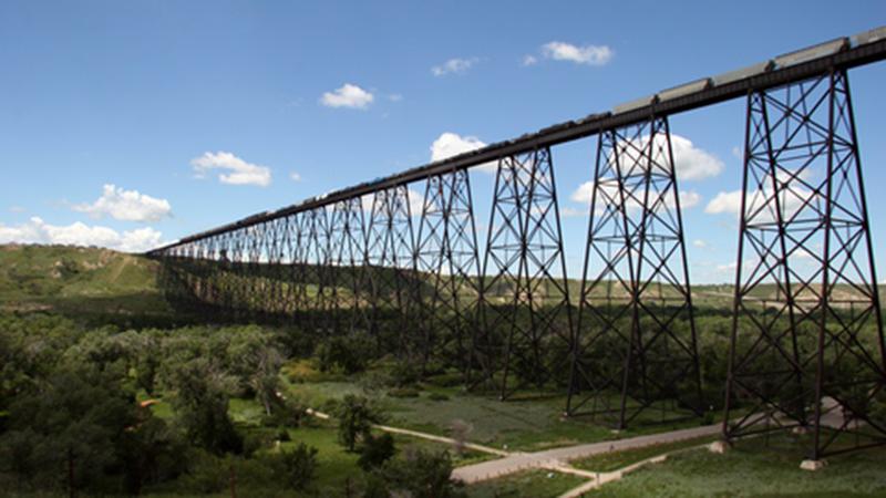
Coal Banks Trail
Jun 13, 2025 | 12:42 PM
-
Share on Facebook
-
Share on Bluesky
-
Share on X
- Copy Link
Welcome back to Tuesday Trail Tips. This week, we’re exploring Coal Banks Trail. It’s a scenic and accessible route that winds through the heart of Lethbridge.
About the trail
Coal Banks Trail is a regional asphalt pathway that connects parks and facilities across the city. Follow this 30-kilometre, point-to-point route from west Lethbridge through Henderson Park to Pavan Park in the river valley. Designed for all ages and abilities, it’s a popular choice for recreation and commuting alike.
Did you know?