(Image Credit: ID 378626161 © Krivosheina Elena | Dreamstime.com)
Ready, set, brush
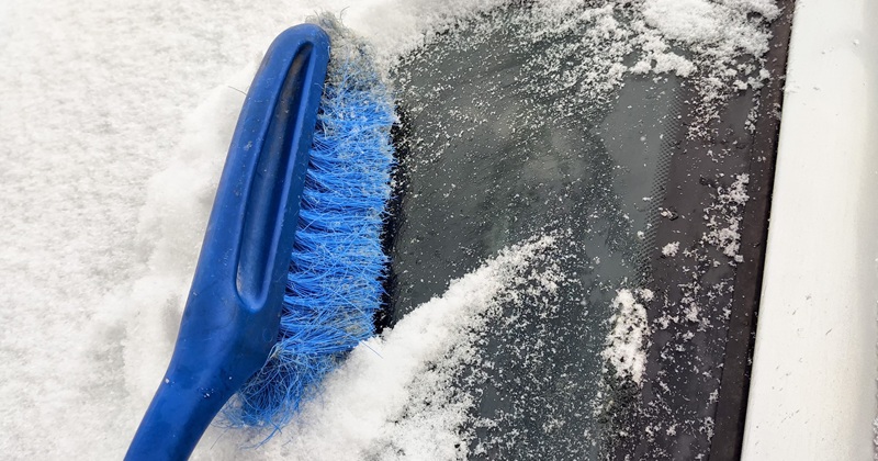
First winter snow for southern Alberta forecast for Saturday
Oct 9, 2026 | 4:37 PM
-
Share on Facebook
-
Share on Bluesky
-
Share on X
- Copy Link
Environment & Climate Change Canada is forecasting a change in our weather over the next 48 hours with some areas possibly seeing snow.
A cold front moving down from northeast BC along the Foothills will bring with it, colder temperatures and mixed precipitation.
Rain and snow, or just snow, is in the forecast for the Crowsnest Pass and Pincher Creek, beginning Saturday with potential accumulations.
South central sections could also see the first signs of Winter, although any snow is not expected to stick.