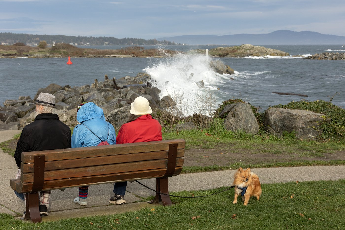
People look on as the wind picks up as waves crash along the breakwater below Turkey Head walkway at Oak Bay Marina in Oak Bay, B.C., on Wednesday, Nov. 11, 2026. THE CANADIAN PRESS/Chad Hipolito
Rains ease but storm surge heads for southwest B.C., posing new flood risk
Nov 13, 2026 | 3:17 AM
-
Share on Facebook
-
Share on Bluesky
-
Share on X
- Copy Link
VANCOUVER — Deluged residents of coastal British Columbia face a new flooding risk as rains ease, with warnings of a storm surge that could raise sea levels.
Environment Canada says the surge could hit low-lying and exposed coastal areas of Metro Vancouver, southeast Vancouver Island and the southern Gulf Islands.
It says elevated water levels surpassing tidal predictions will be driven by high winds and “enhanced wave activity,” and are expected to peak from 10 a.m. to noon.
The warning comes as residents north of Squamish, B.C., shelter in place after flooding triggered by a parade of storms this week.